< Previous | Contents | Next >
3. Size. Shape. Boundaries.
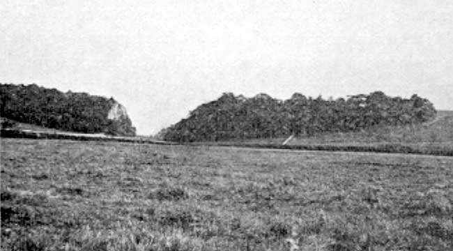
Cresswell Crags (Derbyshire to left, Notts to right of gap).
Nottinghamshire is one of the North Midland counties. It is bordered on the north-west by Yorkshire, on the west by Derbyshire, on the south by Leicestershire, and on the east and north-east by Lincolnshire. The most northerly point is situated at the junction of its boundaries with Yorkshire and Lincolnshire. The most southerly point is where the Fosseway enters the county. The line joining these two is the longest in the county, and extends 51 miles. The greatest width is 27 miles, along a line running close to Selston and Newark.
The area of the ancient or geographical county is 539,756 acres or 843 square miles. These figures include 3426 acres of water. In area this county occupies a central position among the English and Welsh counties, of which 25 are larger, and the same number smaller. It is one-seventh the size of Yorkshire, and six times larger than Rutland. It is practically equal to Herefordshire, which has an area of 842 square miles.
The general shape of the county is that of an oval, with its long axis lying nearly north and south. The circumference of this oval is about 120 miles, but numerous irregularities increase the length of the actual boundary to over 18o miles. One half of this is artificial, the other half is naturally defined by rivers and streams.
There are three long stretches of natural boundary. One starts close to the source of the Erewash in the extreme west, near Pinxton, and follows down this stream almost to the Trent. Another starts near to the mouth of the Erewash and follows up the Trent, the Soar, and one of its tributaries to near Rempstone. The third, in the north-east, follows down the Trent from North Clifton to West Stockwith. This one is broken by a slight deviation close to Dunham bridge, where one Nottingham-shire field lies on the Lincolnsh ire side of the river. This field is the nearest approach to a detached portion of which the county can boast. Close to Bole the Trent formerly flowed round two remarkable loops with narrow mouths opening into Lincolnshire. The land thus nearly surrounded by water belonged naturally to that county. In 1797 the river assumed its present course across the narrow necks of the loops. It is only on the latest maps that this land is represented as belonging to Nottinghamshire.